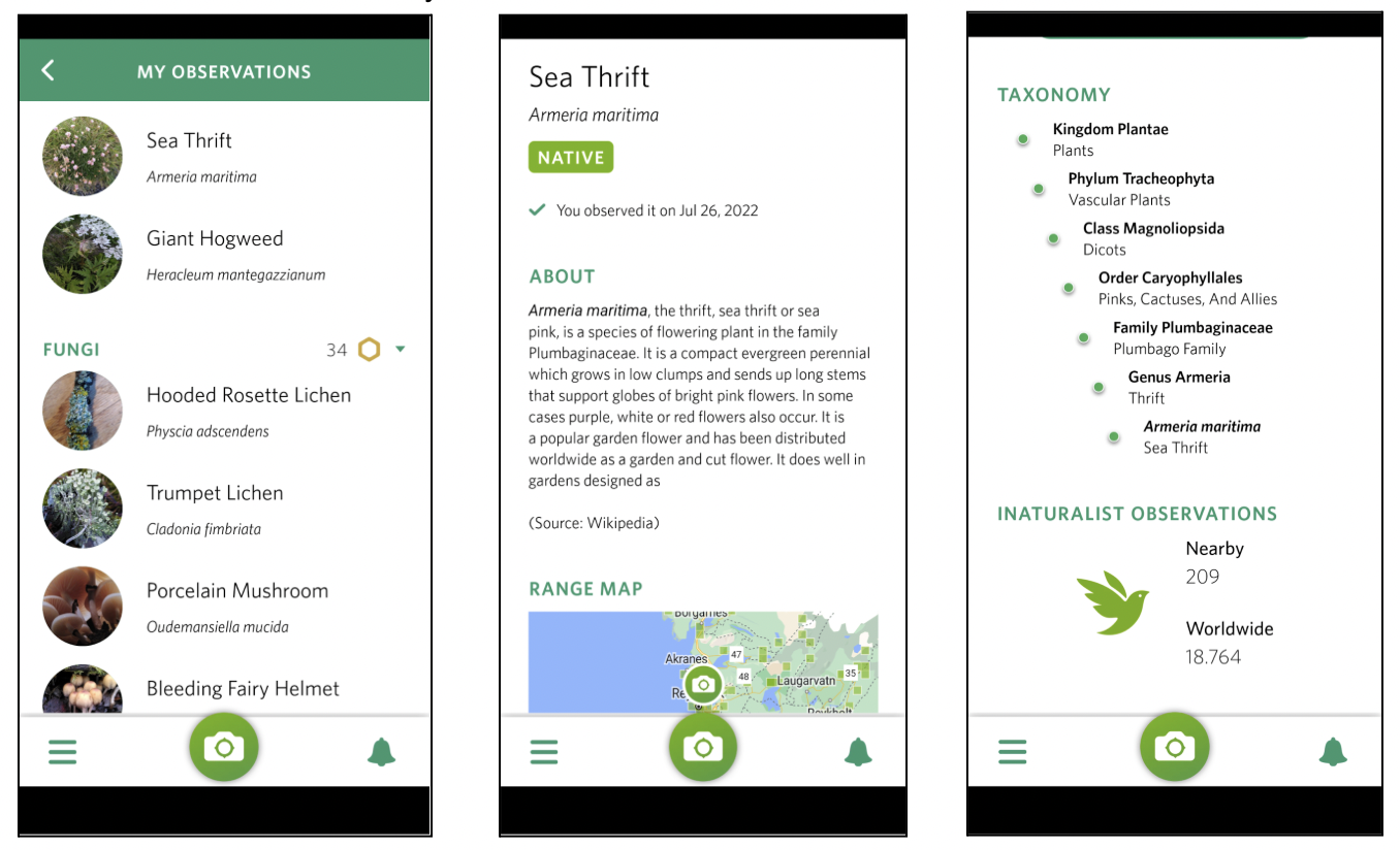
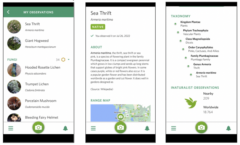
File:Map of species identifications.png
From Sustainability Methods
Revision as of 12:25, 6 March 2024 by Oskarlemke (talk | contribs)
Size of this preview: 800 × 486 pixels. Other resolutions: 320 × 194 pixels | 1,356 × 824 pixels.
Original file (1,356 × 824 pixels, file size: 739 KB, MIME type: image/png)
Map of species identifications. Areas highlighted in red have the most identifications
File history
Click on a date/time to view the file as it appeared at that time.
| Date/Time | Thumbnail | Dimensions | User | Comment | |
|---|---|---|---|---|---|
| current | 12:25, 6 March 2024 | | 1,356 × 824 (739 KB) | Oskarlemke (talk | contribs) |
- You cannot overwrite this file.
File usage
The following page uses this file: