File:Elevation Surface Map.jpg
From Sustainability Methods

Size of this preview: 800 × 566 pixels. Other resolutions: 320 × 226 pixels | 3,507 × 2,480 pixels.
Original file (3,507 × 2,480 pixels, file size: 166 KB, MIME type: image/jpeg)
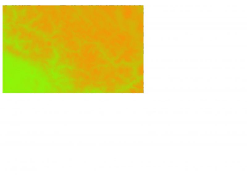
DEM for Himalayas
File history
Click on a date/time to view the file as it appeared at that time.
| Date/Time | Thumbnail | Dimensions | User | Comment | |
|---|---|---|---|---|---|
| current | 13:29, 5 February 2024 | | 3,507 × 2,480 (166 KB) | DT0-TY2 (talk | contribs) |
- You cannot overwrite this file.
File usage
There are no pages that use this file.